I can save data from my Garmin GPS unit in gpx format. One of the fields is a position co-ordinate in OS grid ref format (UK) [changed from LAT/LONG]
e.g.
NG 40909 20619
NG 40910 20621
NG 40909 20620
I would like to plot these co-ordinates as eastings v northings i.e.
X=40909 Y=20619
X=40910 Y=20621 etc
Is there any way DPlot can take the grid ref format and split it automatically so that it produces an XY plot ??
Plotting GPS co-ordinates
Moderator: DPlotAdmin
-
DPlotAdmin

- Posts: 2312
- Joined: Tue Jun 24, 2003 9:34 pm
- Location: Vicksburg, Mississippi
- Contact:
DPlot won't have any trouble getting X and Y from
NG 40909 20619
NG 40910 20621
NG 40909 20620
(in some other file format). The problem is DPlot won't read a GPX file, or any other XML-based file format. You'll need to convert your GPX to CSV using a converter you should (eventually) be able to find on the 'net. The problem you'll likely run into is that there doesn't seem to be much standardization among GPX-writers, so you'll probably have to try several different programs to get one that works.
I used GPSBabel to convert a GPX file (from a Garmin 205) to CSV successfully, but whether you'll have any luck with it I can't say. Plot of the CSV file: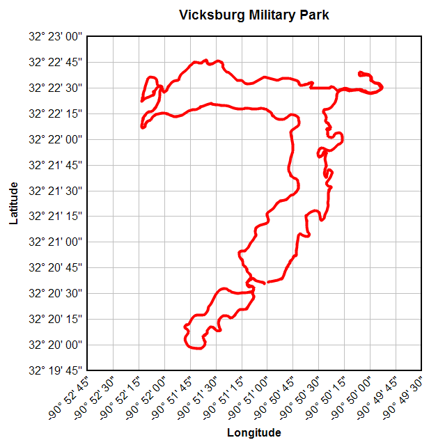
Neither here nor there, just a bit of background: I got the Garmin unit primarily out of interest in importing the data into DPlot. Not so much lat-lon, but speed, distance, elevation, grade (derived from distance and elevation) vs. time. Although I can get that data into DPlot eventually, the results were terrible. A 100 ft error in location doesn't seem like a big deal, but it sure does foul up speed (I'm pretty sure I can't ride my bike 180mph ) And elevation errors are worse, of course, because of the angles involved. (I may ride 180 mph, but I'm almost positive I can't ride 450 ft off the ground.) The short version is I've given up on this project for the time being.
One thing you may not be aware of that I stumbled into. If you have your own web pages this is fairly nifty: http://www.dplot.com/maps/vmp.html
NG 40909 20619
NG 40910 20621
NG 40909 20620
(in some other file format). The problem is DPlot won't read a GPX file, or any other XML-based file format. You'll need to convert your GPX to CSV using a converter you should (eventually) be able to find on the 'net. The problem you'll likely run into is that there doesn't seem to be much standardization among GPX-writers, so you'll probably have to try several different programs to get one that works.
I used GPSBabel to convert a GPX file (from a Garmin 205) to CSV successfully, but whether you'll have any luck with it I can't say. Plot of the CSV file:
Neither here nor there, just a bit of background: I got the Garmin unit primarily out of interest in importing the data into DPlot. Not so much lat-lon, but speed, distance, elevation, grade (derived from distance and elevation) vs. time. Although I can get that data into DPlot eventually, the results were terrible. A 100 ft error in location doesn't seem like a big deal, but it sure does foul up speed (I'm pretty sure I can't ride my bike 180mph
One thing you may not be aware of that I stumbled into. If you have your own web pages this is fairly nifty: http://www.dplot.com/maps/vmp.html
Visualize Your Data
support@dplot.com
support@dplot.com
I had already discovered how to extract Grid Ref data as a CSV file from my GPX files. What I was missing was how to separate the eastings and northings as two separate fields.
I've now found that I can do this using functions in Excel.
e.g.
With the raw Grid Ref in cell A2
=MID(A2,4,5) in cell B2 and
=RIGHT(A2,5) in cell C2
"NG 40909 20619" is separated into easting and northing values (40909 and 20619)
Thanks for pointing me at GPSBabel. It also allows me to extract the LAT and LONG values (as two separate fields) from a GPX file.